


Analyse de données spatiales : fin de bêta pour UP42
Catégorie: A l'actu, Entreprises, Imagerie, Satellite/Spatial
UP42, la filiale d’Airbus qui propose une place de marché pour les données et analyses liées aux satellites d’observation de la Terre annonce le lancement officiel de son offre, en date du 17 septembre.
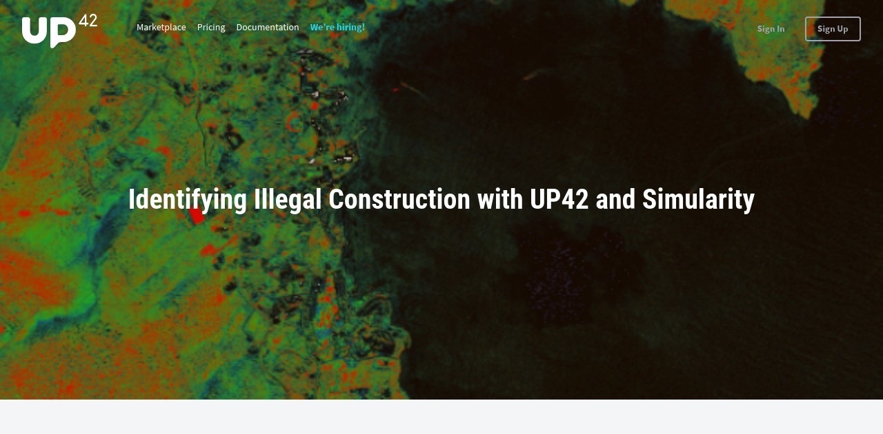
Image UP42
Les premiers services comprennent un index de végétation avec teneur en humidité et chlorophylle ; la détection d’objets (voitures, navires, éoliennes, réservoirs de stockage) ; la détection de changement et quelques outils de prétraitement.
En savoir plus :
– « Platform as a Service » : le pari de UP42
– Le site Web de UP42 : https://up42.com/
– Le communiqué en anglais ci-dessous
Space tech startup UP42 comes out of beta; launches marketplace dedicated to Earth observation
- UP42 is a new platform and marketplace for developers and startups, offering customers access to high-resolution satellite imagery, geospatial data and ready-to-use algorithms
- From today, SMBs and independent developers will have easy access to a wide range of geospatial data and analytics, which have traditionally been restricted to large corporates and governments
- The space tech startup is a subsidiary of Airbus Defence and Space
Berlin, 17 September 2019 – UP42, a subsidiary of Airbus Defence and Space, has come out of beta and today formally launches its commercial data and analytics platform and marketplace. UP42 opens up access for the first time to geodata and processing tools that enable observation and analysis of portions of the planet at scale, helping customers build game-changing new geospatial products.
UP42’s ready-to-use algorithms have gone live on its platform today, including:
- Vegetation indexing and moisture/chlorophyll level detection: tools that can assist precision agriculture, enabling UP42 customers to view farmland from space and identify regions that require additional care (e.g. watering or fertiliser) in order to maximise yields
- Object detection: tools that can detect vehicles (e.g. cars and ships) or structures (e.g. wind turbines or storage tanks) in satellite imagery – useful for urban planning, tracking traffic patterns and energy production forecasts
- Change detection: tools that can detect change over time with as little as two images, enabling customers to gain powerful insights in regions with data scarcity. Useful for tropical areas with heavy cloud coverage and monitoring deforestation in combination with the vegetation tools.
- Pre-processing tools: tools that help prepare satellite imagery for data analysis, e.g. by ensuring images line up properly for pixel-based analytics or by removing cloud cover
UP42’s unique offering provides access to data from a range of sources – including both commercial and open source high-resolution satellite/drone imagery and IoT data. It solves a key pain point for customers looking to leverage extensive, accurate and diverse real-time geospatial data sources, many of which have historically been unavailable for startups or individual developers.
UP42 has been in beta since May 2019 and customers will initially have access to data from a wide range of partners including LiveEO, Ito World, Simularity, and Vasundharaa, with more being added over the coming months. The company was founded in 2019 with support from BCG Digital Ventures and is based in Kreuzberg, a borough of Berlin, Germany. UP42 currently has 32 employees and are growing rapidly, with plans to grow its product and development teams in particular.
In addition to off the shelf processing algorithms, developers and data scientists using UP42 will also be able to use their own algorithms by uploading their code directly to the platform or via the API and executing it in the cloud. UP42’s scalable, modular infrastructure, will adapt to an application’s requirements in real-time, and developers will be able to scale their processing by leveraging custom Docker containers and other state-of-the-art technology.
The platform will also allow entrepreneurial developers to monetise their processing algorithms on UP42’s developer platform, helping them to unlock new customers, tap into new revenue streams, and increase their visibility.
Eli Tamanaha, CEO of UP42, said: “With the launch of our new platform, we are looking to open up access not only to satellite imagery and data, but also to a range of analysis tools to help understand it. By using UP42, customers will be able to easily discover actionable insights to make data-driven decisions and geospatial products.”
About UP42
UP42 is an open platform and marketplace to access, analyse, and understand data about the planet. The platform and marketplace make it easy to find data sources, apply analytics, and discover actionable insights. UP42 brings together high-resolution satellite data, drone imagery, and IoT data, alongside powerful algorithms to detect changes, identify objects, and monitor regions. Customers from across all industries can access and supply ready-to-use data and processing algorithms – in order to gain valuable insights and create new products. The company was founded in Berlin in 2019 and is a subsidiary of Airbus Defence and Space.


 Communiqués